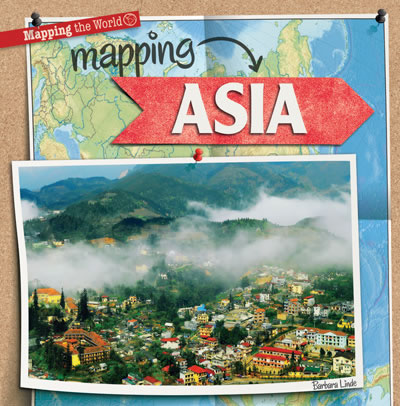
Mapping Asia
Mapping the World

The largest continent in the world also has three-fifths of the world's population! Asia is made up of more than 50 countries and has huge mountain ranges, island nations, and a rich collection of varied cultures. Its large size and diverse geographic features make this continent a great place to start learning to read maps. Simple political, landform, and climate maps introduce readers to some of the most common types of maps, while colorful photographs show them the beauty of Asia beyond boundaries and longitude lines. Age-appropriate language engages readers in content consistent with the social studies curriculum as fact boxes add fun facts about mapping and the great Asian continent.
|
|
Level | Points |
|---|---|---|
| 2-3 | 4.2 |


