Top menu

  • Customer Service
  • Find a Rep
  • Canadian Customers
  • 800-542-2595
  • 877-542-2596 | M-F 9am-5pm EST
  • Log in
  • Create account
  • Checkout

Css captcha

Js and css

Header logo

Block as products carousel: 
Block as images slideshow: 

Header Info

Block as products carousel: 
Block as images slideshow: 
My List (0 items) $0.00

Sub menu for static pages

  • Home
  • Correlations
  • Interactive eBooks
  • eBooks
  • Reviews
  • Request a Catalog
  • Downloads

Sections menu

  • First
    Concepts
  • Early
    Readers
  • Leveled
    Readers
  • Fun Fact
    Files
  • Crash
    Course
  • Hot
    Topics
  • Subject
    Content Areas
    • Arts & Crafts
    • Biographies
    • Careers
    • Character Education
    • Graphic Fiction & Nonfiction
    • Cooking & Food
    • High Interest
    • Language Arts / Literature
    • Math
    • 100 Facts You Should Know
    • Science
    • Social Studies
    • Sports
    • Transitions to Literacy
  • Spanish/
    Bilingual
| Title Page

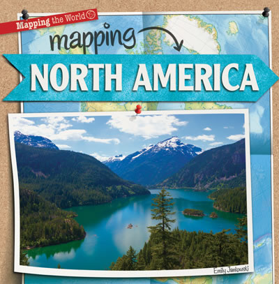
Mapping North America

Mapping the World
Library Bound Book List: $25.27 / S&L: $18.95
Interactive eBook List: $33.25 / S&L: $24.95
eBook List: $25.27 / S&L: $18.95

Reading Level: 2-3

Interest Level: 2-5

Product type: Library Bound Book
ISBN: 978-1-4339-9114-1
Author: Emily Jankowski
Copyright: 2014
Language: English
Pages: 24
Trim: 8.5" x 8.5"
Dewey: 970
ATOS: 4.6
ARPoints: 0.5
Subject: Social Studies
Binding: Library
BISAC: JNF025080, JNF038000
Age Appropriate and Achievable Content • Detailed Table of Contents • Social Studies Content • Cultural Background? • Fact Boxes • Index • Glossary • Maps • For Further Information Section
Including the Great Plains of the United States and the huge icebergs of Greenland, North America is a continent with a wide range of geography, climate, and cultures. Colorful photographs will invite readers to visit the many scenes North America has to offer--from the smallest Caribbean Island to icy northern Canada. Fun fact boxes accompany curriculum-based social studies content, including how to read population, climate, and political maps. Latitude and longitude, the cardinal directions, and major landforms also engage readers with the continent as a whole.
Accelerated Reader Level Points
2-3 4.6

Footer left part


29 East 21st Street,
New York, NY 10010

Tel: 800-542-2595
Fax: 877-542-2596

Hours:
Monday to Friday 9am – 5pm
Block as products carousel: 
Block as images slideshow: 
  • Company info
    • About us
    • Contact Us
    • FAQs
    • Canadian Customers
    • Find a Rep
    • Careers
    • Privacy Policy
  • Resources
    • Correlations
    • RL Correlations
    • Interactive eBooks
    • Transitions to Literacy
    • eBooks
    • Reviews
    • Request a Catalog
    • Downloads

Gareth Twitter

Tweets by @GS_Publishing

accesiBe Widget

Copyright

Copyright ©2025 Gareth Stevens, Inc. or its affiliates. All rights reserved.
Follow Us On:
Block as products carousel: 
Block as images slideshow: