Mapping North America
Mapping the World
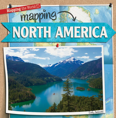
Including the Great Plains of the United States and the huge icebergs of Greenland, North America is a continent with a wide range of geography, climate, and cultures. Colorful photographs will invite readers to visit the many scenes North America has to offer--from the smallest Caribbean Island to icy northern Canada. Fun fact boxes accompany curriculum-based social studies content, including how to read population, climate, and political maps. Latitude and longitude, the cardinal directions, and major landforms also engage readers with the continent as a whole.
|
|
Level | Points |
|---|---|---|
| 2-3 | 4.6 |